
Field practical
Practical: five bearings from Corn Du
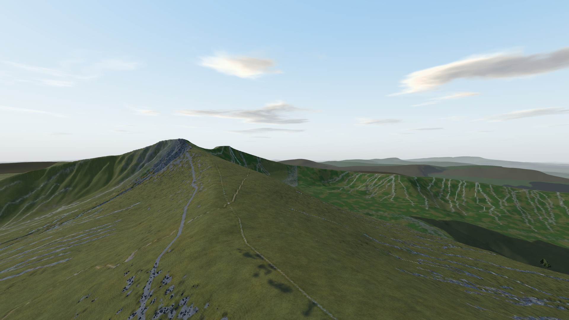
Take a compass bearing to five places from the summit of Corn Du, on the real terrain of Pen y Fan.
You start on the summit of Corn Du, the second-highest point in southern Britain, built from laser survey data to the metre. Around you, five orange markers stand on Pen y Fan, Cribyn, Craig Gwaun Taf, the ridge of Cefn Cwm Llwch and the lake of Llyn Cwm Llwch below.
You hold a baseplate compass in your left hand. Take a bearing to each marker: face it so the direction-of-travel arrow points straight at it, turn the dial until the red end of the needle sits in the orienting arrow, and read the bearing at the index line. Each bearing is marked against the true magnetic bearing from where you stand:
- within 2 degrees: full marks
- within 5 degrees: a good bearing
- more than 12 degrees out: no marks for that one
You need 70% overall to pass. You can take each bearing again as often as you like, and only your best counts.
On a computer, drag to look round and use the arrow keys to aim finely; Q and E turn the dial, or drag the round close-up of the compass. On a phone, drag to look and use the buttons.
When you have passed, the whole course is waiting: twelve modules, from the first hour lost on a hill to the final practical on real terrain.
- Pass mark 70%
- Solo, in your own time
- Try as many times as you like
- Optional
Enrol on the course to take the practical. The walkthrough is open to everyone who can see this page.